Road
Verified tarmac. Unknown surface counts as risk, and big roads are a last resort.
99.9% tarmac0.1% untagged & other
- Distance
- 40.7 mi
- Climbing
- 1,877 ft
- Tarmac
- 99.9%
Your AI route planner for road, gravel and MTB. Tell it where you’re starting and what you’re in the mood for. Rieda finds the way.
Start free. Sign up with email or Google.
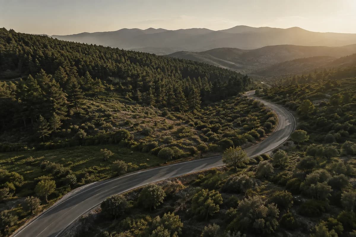
Out there is calling.
Verified tarmac. Unknown surface counts as risk, and big roads are a last resort.
Tracks and forest roads sought, not avoided. Sand and broken ground still stay out.
Tour MTB: forest tracks up, real descents down — built around climbing and descending, not trail-chaining.
All three loops are real output from the US graph — numbers exactly as the router returned them.
37 miles from Boulder, a bit rolling
The AI reads your sentence. A routing graph picks the roads.
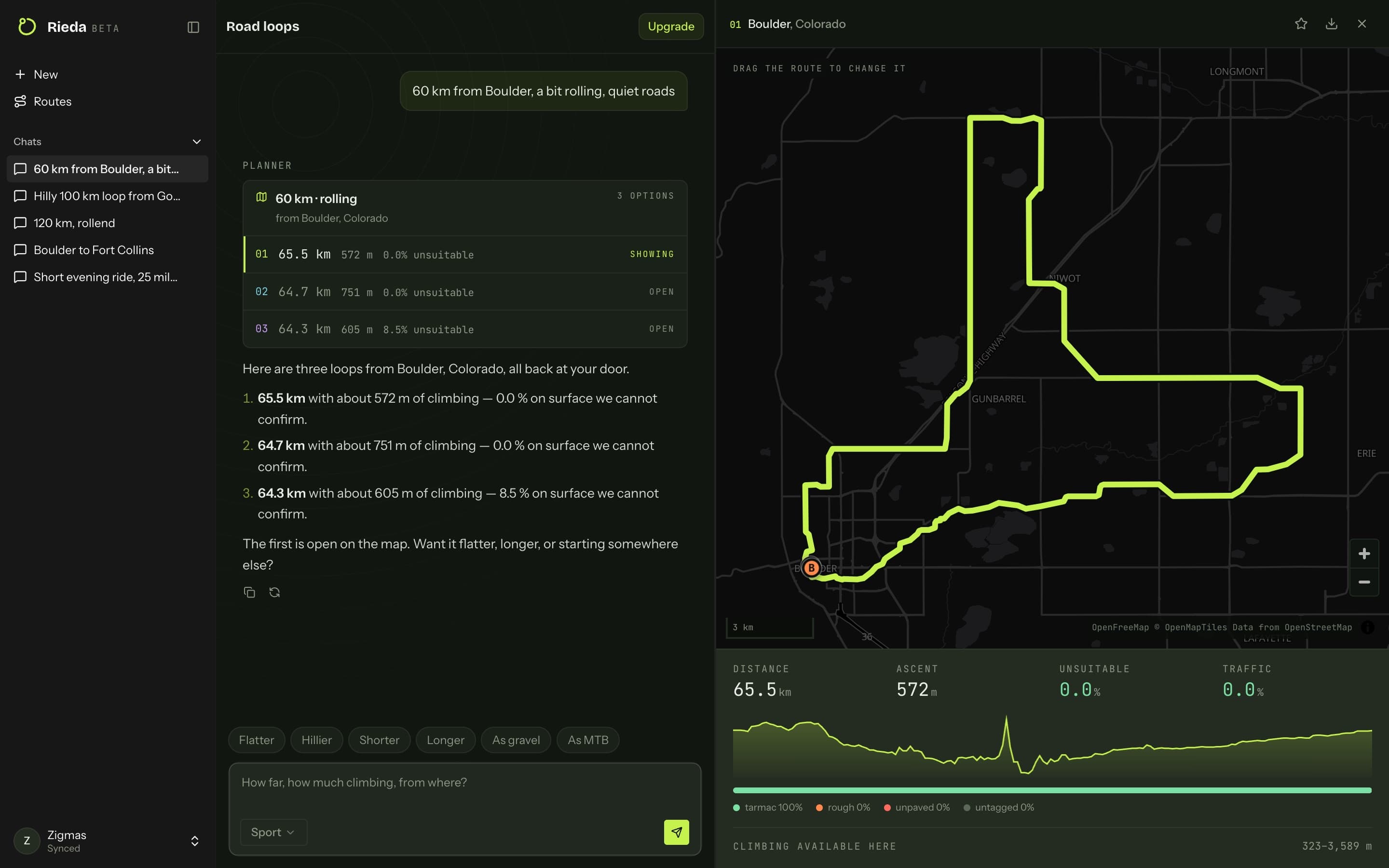
You do not get a route. You get the best three of 40 loops, ranked by what matters.
Tap any point on the line: surface, way type, gradient — so you know what you are riding on before you get there.
Elevation profile, surface split, and the numbers you actually decide on.
Most planners count that 8% as tarmac. We count it as risk.
Measured on our own routes, 19 August 2026 — not an industry average.
Road.Gravel. MTB.Nothing else.
One sentence is enough. Sign up with email or Google.
Plan your first loop| Typical route planners | Rieda | |
|---|---|---|
| Planning | forms, sliders, clicks | one sentence in chat |
| Unknown surface | assumed rideable | counted as risk |
| Loops | often there-and-back | a genuine loop, scored |
| Climb target | a fixed number, wherever you live | what is achievable from your door |
| Choice | one route | 40 loops scored, best three shown |
| Changes | drag waypoints | drag — or just say it |
Ten loops a month are free. Pro is for riders who plan every week.
Prices in US dollars. Any sales tax is shown at checkout. Cancel any time. Fair use: 150 planned or adjusted loops a month. Need more? Talk to us and we will sort it out.
The five that actually decide it. The rest are one page away.
See all questionsKomoot does almost everything — and it is built for every kind of bike. That is exactly why a way with no surface tag counts as rideable there. Here the sport decides: the road loop goes around it, and the gravel loop has its own model that hunts the tracks instead of avoiding them.
You do not have to take our word for it — you can see it. Every loop states how much is tarmac, how much is gravel and how much is untagged, before you ride. Tap any point on the line and it tells you the surface right there.
Rieda plans rides in the United States and Europe. The model was built and tested on German roads — the best-tagged data anywhere — and every example ride we show is real output from the US graph, nothing staged. Anywhere else, tell us on the waiting list: it decides which country comes next.
Yes. Export a GPX or FIT file with real elevation — Garmin, Wahoo, Karoo and anything else that imports courses.
Yes, any time, from your account — access runs to the end of the period you paid for. And you keep the ten free loops a month afterwards anyway.
Describe it, look it over, put it on the head unit.
Plan your first loop